Lake Mývatn & Surroundings
4th August 2003
On day 6 we made an early start and headed to Lake Mývatn in the north of the country. After a stop for petrol in the next fjord around from Berunes, we headed up and out of the fjords, following route 1 away from the coast.
The view back down into the valley from the top of the pass was amazing.
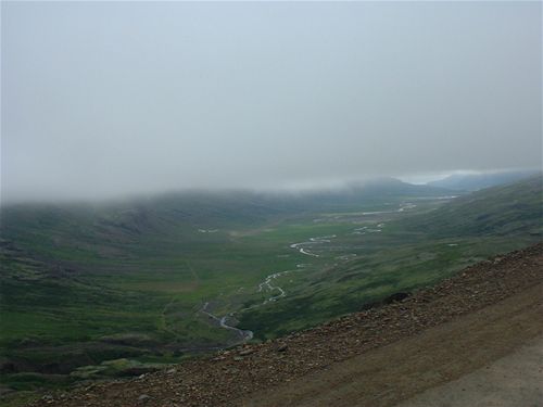
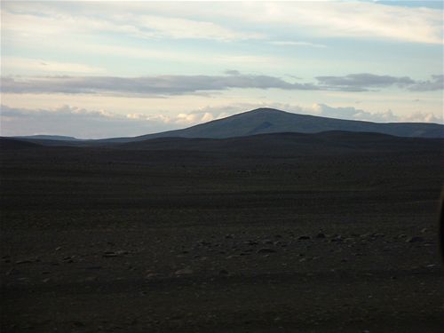
We had up to this point been disappointed with the weather for the day - cloudy and generally not conducive to excellent sight seeing - as you can see in the above photo. As we moved over the top of the pass however, the clouds disappeared leaving clear blue skies as far as the eye could see in the direction we were heading.
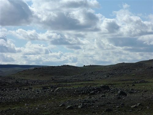
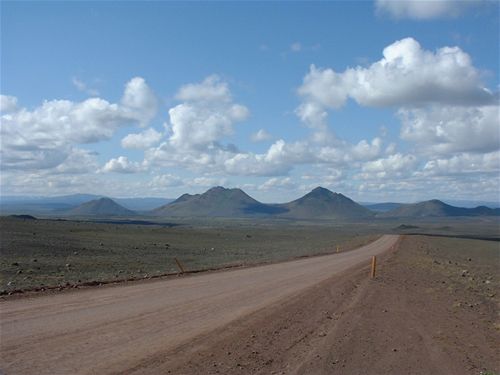
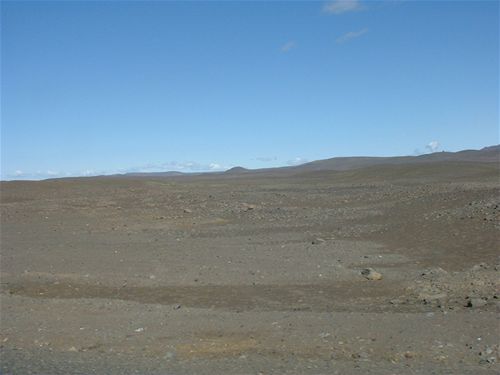
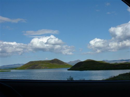
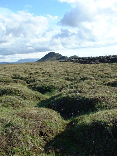
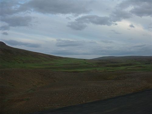
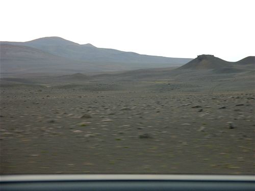
Much of the road we took on this day were dirt track, although mostly of very good quality as far as dirt tracks go. Along the way we saw a huge variety of landscapes, and here are pictured just a few of them.
Famous for its population of thousands upon thousands of flies (the name means literally "midge lake"), the lake is set amongst a circle of mountains and volcanos.
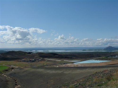
Lake Mývatn
Upon arriving at Mývatn, we first headed to the town of Reykjahlið on the east shore of the lake. Here there was a church which, in an eruption of the Krafla volcano which towers above the town, managed to avoid the lava which destroyed much of the town. The lava flowed around both sides of the church, and now covers the fields on both sides of the church.
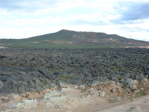
Lava fields at Reykjahlið
Lava fields at Reykjahlið
Lava fields at Reykjahlið
Next we had a drive around the lake, and saw the pseudo-craters - created when hot lava from a volcanic eruption hits water, in this case Mývatn itself.
Pseudo-craters in Lake Mývatn
In this next picture you can just make out the "path" up the volcano which we took.
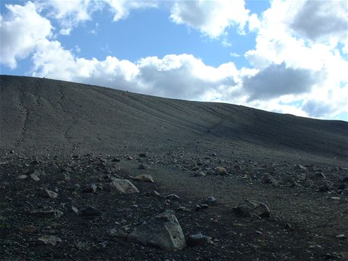
Path up Hverfjáll
The best thing about climbing Hverfjáll was the unparalleled views it gave over the lake and surroundings.
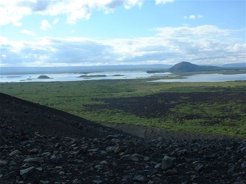
View over Mývatn from Hverfjáll
From the top we could look down into the crater on top. Although it was once possible to walk down into the crater, in the last couple of years they have prevented people from doing this.
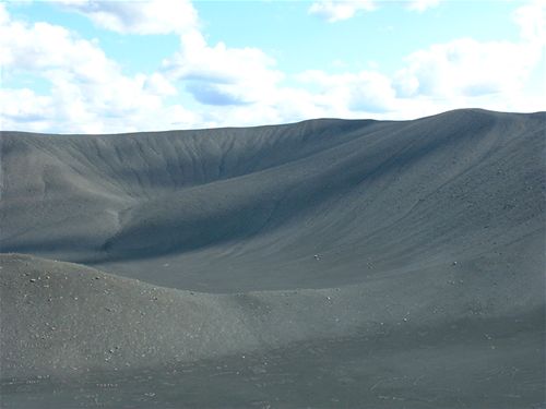
The crater on Hverfjáll
Next we headed up to Krafla, the large active volcano that towers over the east of the lake.
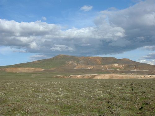
Krafla
Energy from Krafla is used to generate electricity, and a couple of science-fiction-like pipes and buildings dotted the side of the volcano.
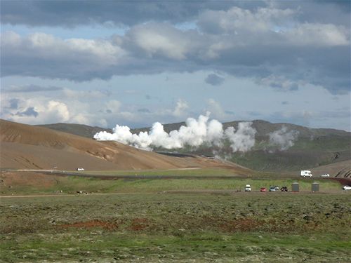
The Krafla Power Station
There were two main craters on top of Krafla - the most recent to erupt was the Viti crater.
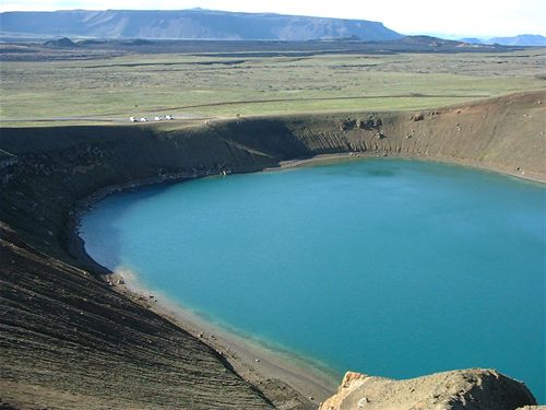
Viti Crater, Krafla
From the top of Krafla some excellent views were available over the area. This picture doesn't really capture the niceness of the view, but gives an idea of the landscape.
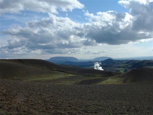
The view from Krafla
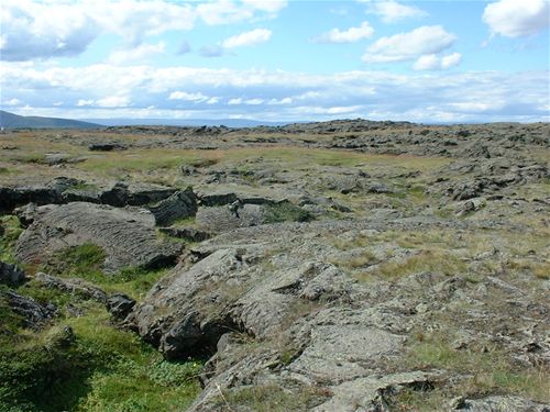
From Krafla we had a wander around the lava fields that surround it. The older ones, like this pictured below, turn into grassy blobules.
Old lava fields that have grassed over
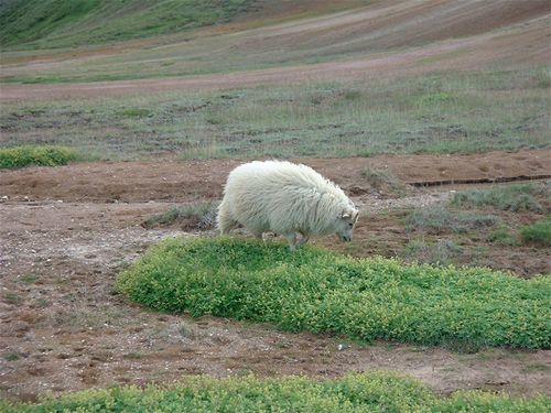
A Sheep
The newer lava fields are much craggier, and don't have the grass growing all over them.
Newer lava fields - 1
Newer lava fields - 2
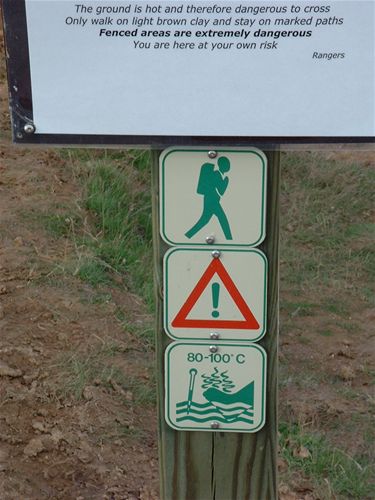
As we entered the geothermally active region, this excellent sign shows graphically what not to do with your boots.
Warning signs
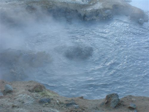
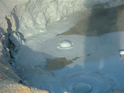
The geothermally active area had an exceptionally strong smell of sulphur (a feature of all geothermally active regions) and was littered with steaming pools, bubbling mud, and an almost alien landscape.
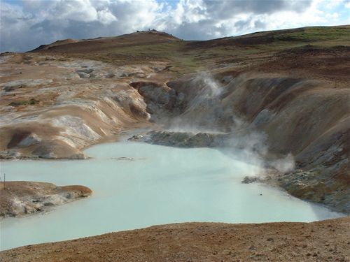
Steaming pool
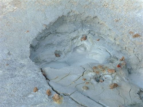
Bubbling mud
The view out across the lava field from here was also very alien in its appearance.
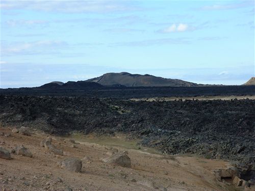
Krafla Lava Fields - 1
Krafla Lava Fields - 2
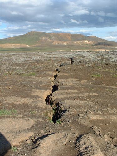
Stress crack line, with Krafla in the background
After exploring Krafla we headed to another geothermally active region just to the east of the mountainous ridge to the east of Mývatn. This included some very weird things, but the smell of sulphur was so bad that we could barely stand to stay there long.
Bubbly interesting coloured water
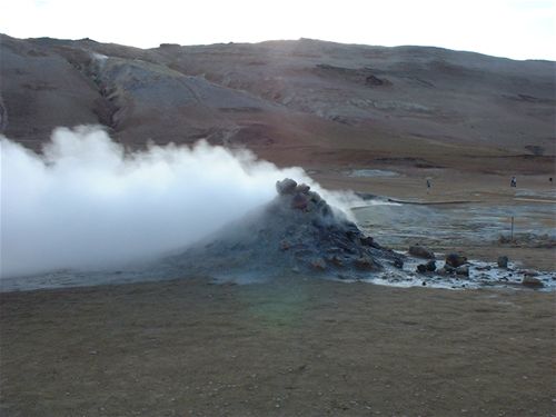
Sulphur steaming rock pile
Proper bubbling mud
Thanks to the wonderful positioning of the car park, here is a shot of our car looking decidedly harder than it should do... it was sat on the car park in reality.
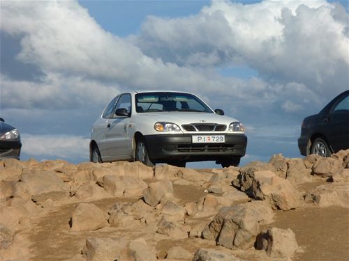
Our car looking heroic
Landscapes along Route 1 - 2
Landscapes along Route 1 - 3
Landscapes along Route 1 - 4
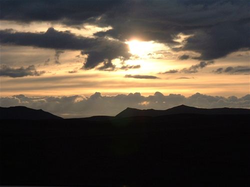
Although sunset was some time away, the sun as it blasted through the evening clouds provided a beautiful sunset-like skyscape.
Beautiful approach-to-Sunset
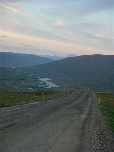
On the road to Egilsstaðir, down through a valley
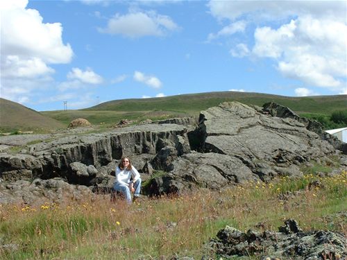
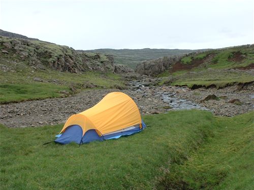
We managed quite a distance that evening - basically back to about where we had started the day at Berunes, before finding a lovely spot alongside the road to camp. In Iceland you are allowed to camp anywhere you like, provided the land is not owned by anyone, and it's not a national park. It was around midnight when we finally found somewhere, although it was still plenty light enough to pitch the tent without too much of a problem. Our little campsite had a lovely stream nearby, that served as our fridge for the night, and excellent soft ground too which given that we were about three quaters of the way up a mountain at the time and the landscape generally was strewn with rocks we were pretty happy about.
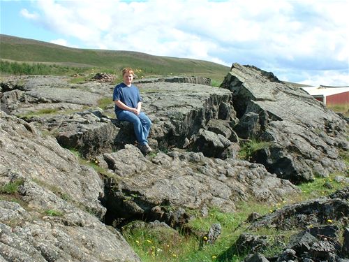
Here are a few pictures of our campsite and the views around it, taken in the morning...
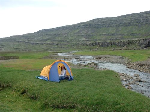
The tent on our grassy outcrop - 1
The tent on our grassy outcrop - 2
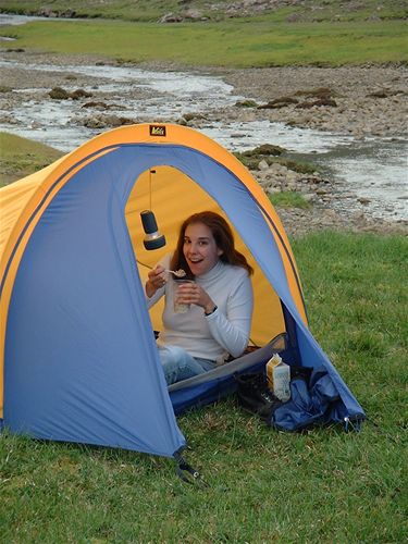
Our excellent breakfast materials - stream-water cooled milk and cereal from a plastic pint glass
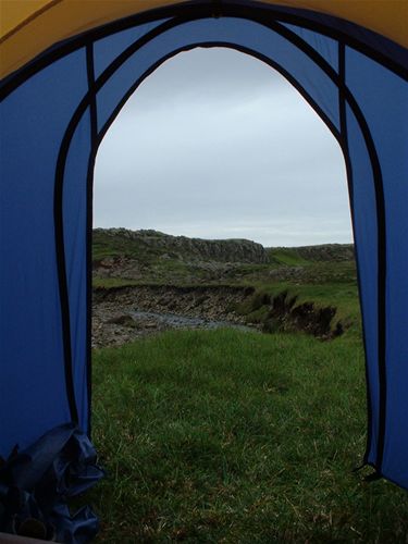
Views around the tent
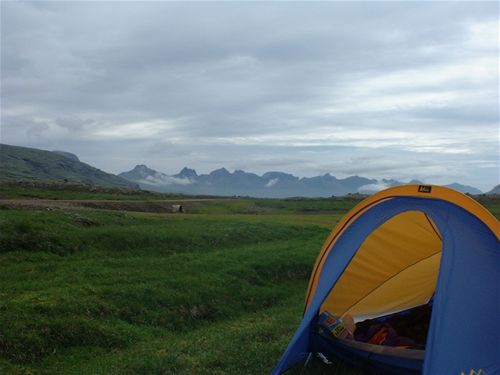
Views around the tent
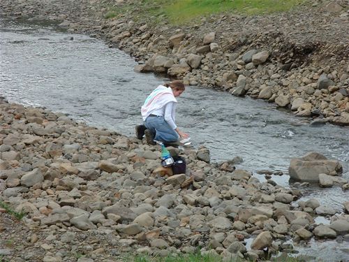
Another handy rock provided an excellent kneeling pad for us to wash our faces from
After getting up pretty late and packing up the tent we headed on for our next adventure - Skaftafell National Park at Vatnajökull - but first we had to head past there, on to Hvöll hostel some 50km where we would be spending the next night.
© Mark Hughes & Audrey Bowerman, July-August 2003
page created: 16th August 2003 | updated: 7th November 2005